
Korpbergets Naturreservat
Nature reserve at the bay Slätbaken
The nature reserve Korpbergets Naturreservat is located on a ridge at the Slätbaken bay on the southern edge of the Vikbolandet peninsula, about 35 kilometres southeast of Norrköping.
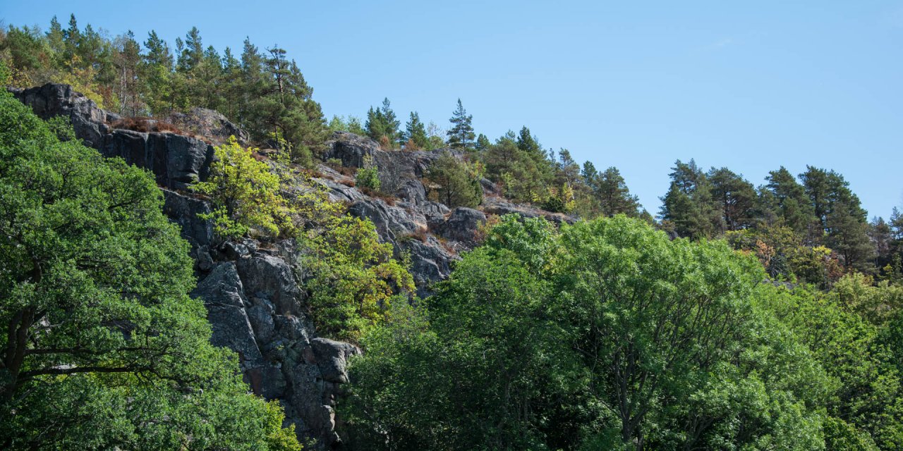
Korpbergets Naturreservat, situated directly on the banks of the Slätbaken, covers an area of almost 33 hectares and extends over a densely wooded, up to 115 metre high mountain. With steep slopes, grassy cliffs and fertile plateaus, the side facing the water is the most dramatic topography of the mountain, offering a magnificent view of the bay from the top.
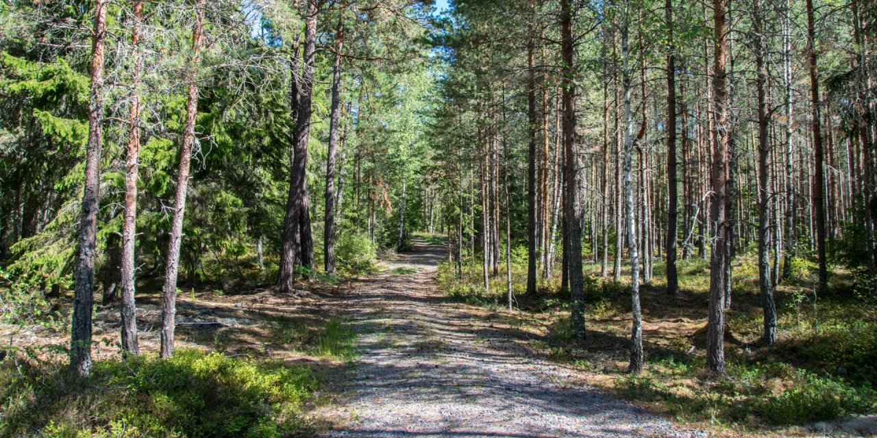
The forest on this side consists of ancient pine trees, where the most majestic of the pines are up to 400 years old. In the western part of the nature reserve, the forest consists of a mixture of old pines and oaks. The north side of the mountain is less steep than the south side and has a slightly different vegetation due to less sunlight.
There the pines are are usually younger than 200 years and the ground is covered by blueberry bushes. In the occasionally occurring areas of wet soil, the pines reach only low heights and the ground vegetation consists of marsh Labrador tea (Rhododendron tomentosum), hare's-tail cottongrass (Eriophorum vaginatum) and bog bilberry (Vaccinium uliginosum).
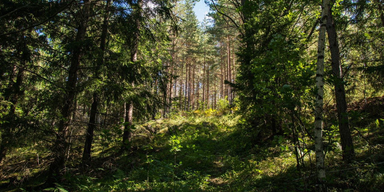
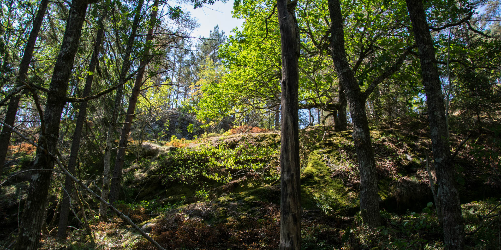
Further east there are small gorges and valleys with fertile calcareous soils and a mixed coniferous forest of pines and spruces. In addition to blueberries, the ground vegetation consists of wood sorrel (Oxalis acetosella), western oak fern (Gymnocarpium dryopteris), brittle bladder-fern (Cystopteris fragilis) and liverwort (Hepatica nobilis).
A small stream springs from one of the wetlands in the valleys and flows down the steep slope on the south side of the mountain down to the Slätbaken. At the mouth of the stream and on the adjacent promontory, which bears the name Monte Carlo, the vegetation directly on the shore of the bay consists, in contrast to the rest of the nature reserve, of a mixed forest with coniferous and various deciduous trees.