
Gässlösa Naturreservat
Nature reserve near Rolfstorp
The nature reserve Gässlösa nature reserve consists of a beautiful varied deciduous forest area around the hill Böstesberg near Rolfstorp, about 18 kilometres east of Varberg.
The Gässlösa Nature Reserve covers an area of almost 36 hectares and lies on the border between the coastal plain and the southern Swedish highlands. From a bird's eye view, the nature reserve on and around the 100-metre-high Böstesberg seems a little like an advanced green rocky island rising from the previously flat coastal landscape.
In fact, the Böstesberg and the other hills in the region were once actually islands in a former archipelago. That was about 10,000 years ago, when the sea level after the retreat of the glaciers was still 70 metres higher than it is today. The permanent post-glacial rebound made the seabed a fertile plain over time and the islands rocky hills in the hinterland.
Landscape and Plants in Gässlösa Naturreservat
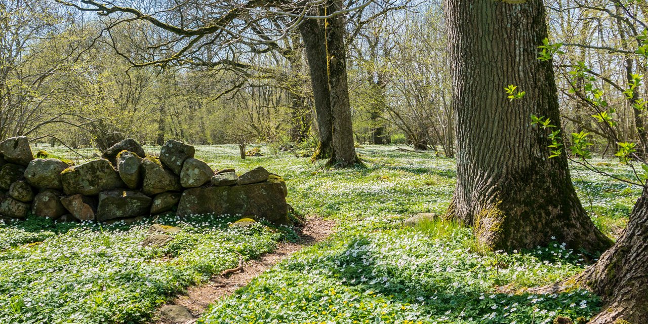
The forest within the nature reserve consists mainly of beech trees, but on the steep mountain slope and on the top of the mountain it changes into oak forest. Between the loose boulders on the slope of the west side grows the conspicuous forest bunch-grass (Calamagrostis arundinacea) and on the oak trunks grows the garden honeysuckle (Lonicera caprifolium), which smells strongly on summer nights.
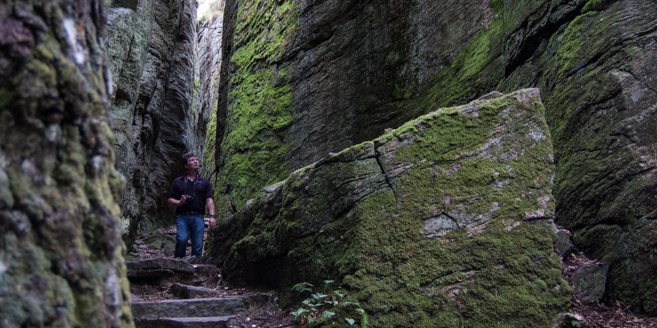
On the mighty trunks and branches of the oaks grow numerous and sometimes rare species of various mosses and lichens, such as lung lichen (Lobaria pulmonaria). If you take the steep ascent to the top of the Böstesberg mountain, you will be rewarded with a beautiful view up there which, in clear weather, reaches as far as the coast.
Down in the beech forest, the vegetation is quite different from that on the mountain due to the poor light conditions under the dense canopy of beech leaves. There is almost no undergrowth at all, but a typical soil fauna. In early spring, when sunlight is still reaching the ground, it consists of large fields of wood anemone, wood sorrel and two-leaved shadeflower (Maianthemum bifolium) and in summer is dominated by dense stands of large ferns.
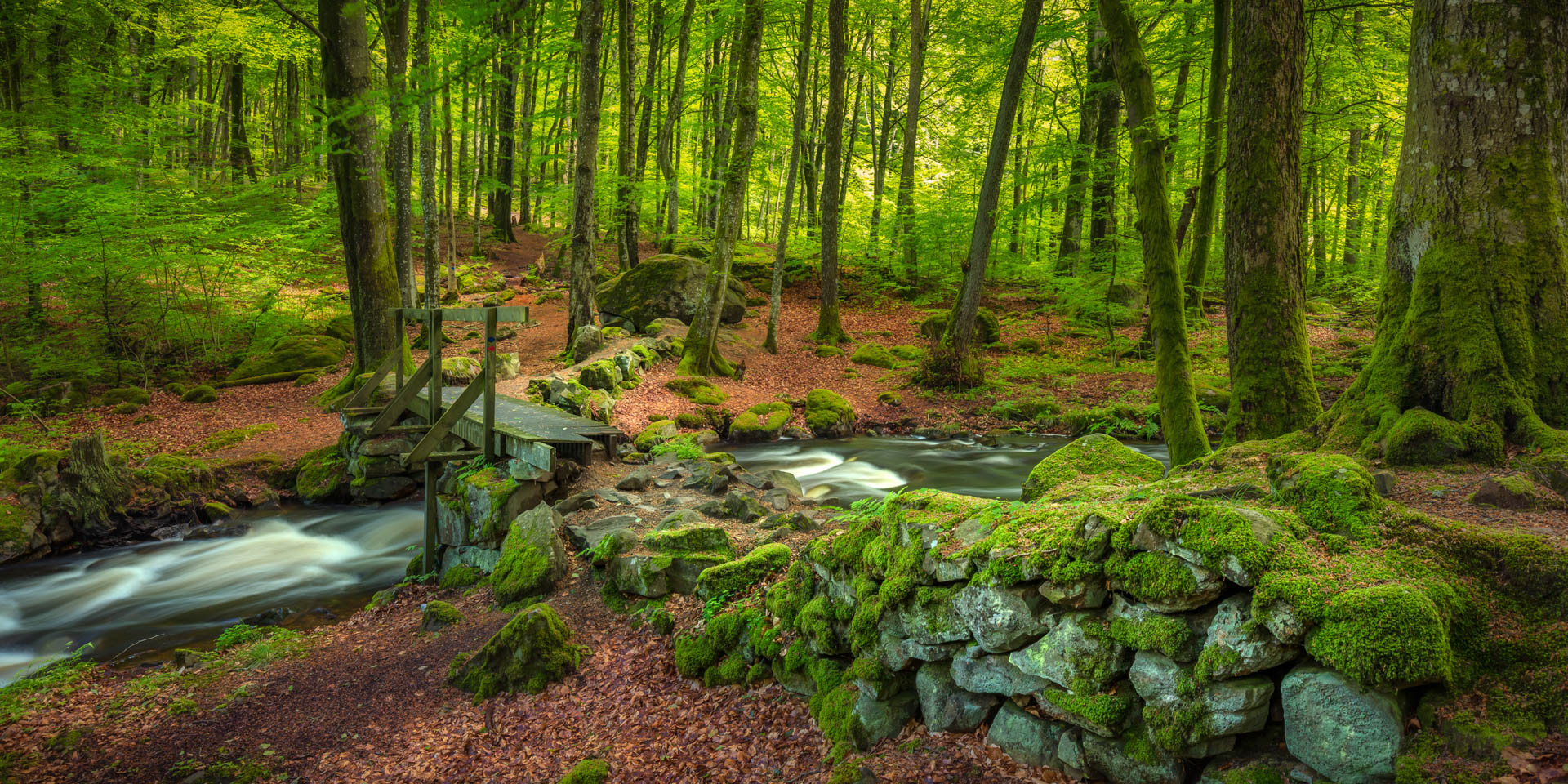
Directly along the Stenån River, which meanders through the nature reserve in its rocky riverbed over small rapids, the subsoil is relatively humid and mainly covered with alder trees. Here, too, rare species of lichen and moss thrive, such as the crustal lichen (Phlyctis argena ) or Normandina pulchella.
The wildlife in the nature reserve Gässlösa
The river has been a breeding and spawning ground for salmon and sea trout for several years now and is also populated by stationary brown trout. On the banks of the river live mountain wagtails (Motacilla cinerea) and kingfishers (Alcedo atthis), which hunt water insects and smaller fish.
Otherwise, numerous cave-breeding bird species live in the nature reserve, which create their breeding caves in the often hollow trunks of the old trees. You will find, among others, pied flycatcher (Ficedula hypoleuca), nuthatch (Sitta europaea) and various woodpeckers. At the same time, the hollow trees are an important habitat for a number of different insects, including about 10 endangered beetle species, as was discovered during the last large inventory in Gässlösa.
In addition to smaller mammals such as hazel mice, squirrels, martens and badgers, deer and even moose also live within the nature reserve. With a lot of luck you can see deer or moose when they come to the river to drink or otherwise on the hilltop, where pronounced bite marks on young trees testify to their presence.
Paths through the Gässlösa Naturreservat
The nature reserve is crossed by two circular paths of different lengths, both of which run a little along the river. The blue marked path is 1.7 kilometres long and leads through the western part of the nature reserve. The path marked in red runs around the foot of the Bösteberg, with the possibility of branching off to the top, and is 1.9 km long.