
Övraby Kyrkoruin
Church ruin in Halmstad
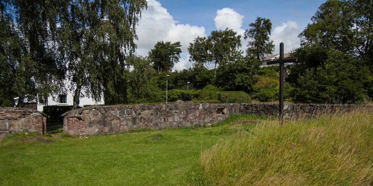
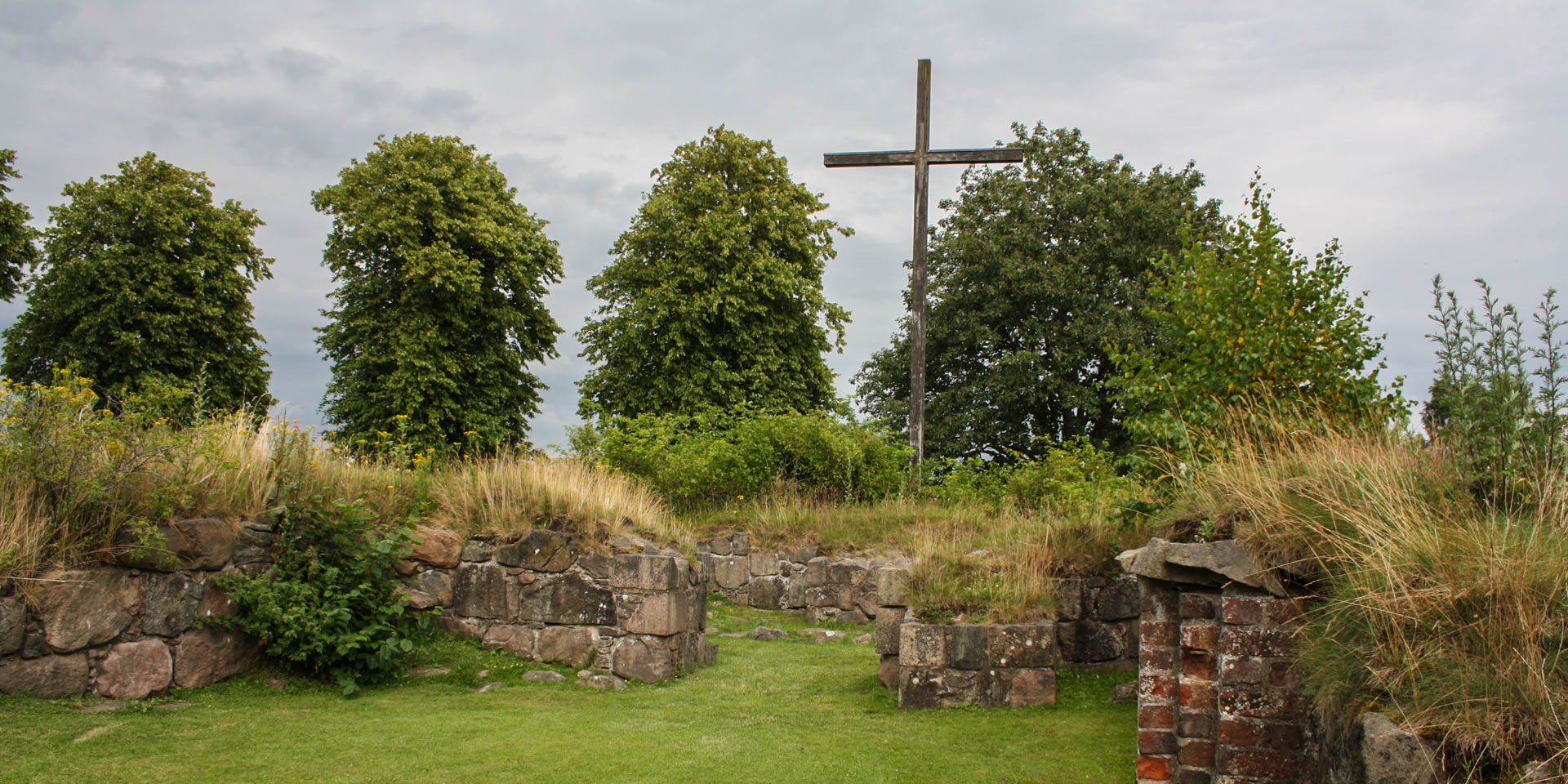
The church ruin Övraby Kyrkoruin dates from the 12th century and is located north of the city Halmstad in the municipality of Halmstads Kommun, on the location where the city once stood.
Around the year 1000, a first wooden stave church was built on this spot, which was replaced by a stone church in the first half of the 12th century. In the mid 13th century, the buildings around the church developed into a town, Halmstad. The church itself was rebuilt and extended many times over the years. Today, the ruins show the remains of an apse, a choir, a nave and an armoury.
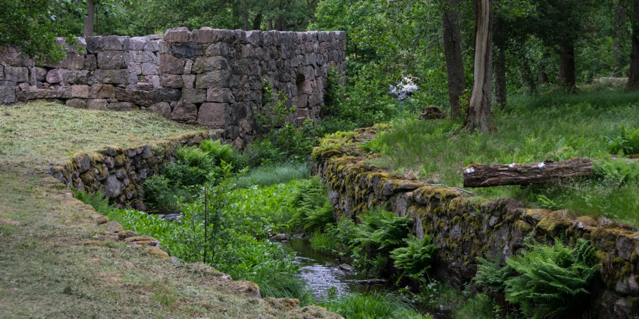
In the 1320s, Halmstad was moved to its present location, a swamp area at the mouth of the river Nissan. The old Halmstad was called Övraby, which means upper village. Övraby was located about five kilometres north of the present city centre, also next to the river Nissan. The town was probably moved because the ships became too large and could no longer navigate the river. A town by the sea was also easier to protect.
The end of Övraby
During the Northern Seven Years' War between Sweden and Denmark, Övraby was burnt down by the Swedish army in 1563. The village and church fell into disrepair and were never inhabited again. During archaeological excavations in the mid-1930s, the Övraby Kyrkoruin was rediscovered. Today, the ruins of the church are the only remains left of old Halmstad.
The ruin is easy to reach and easily accessible. A few hundred metres to the south are the loops of the river Nissan, inviting you to take a walk along the water.