
Skipås Naturreservat
Nature reserve near Steninge
The nature reserve Skipås Naturreservat is located at the edge of the village Steninge, about 22 kilometres southeast of Falkenberg and extends over a residual mountain, which rises clearly visible from the otherwise flat coastal landscape at the Kattegat.
The almost 80 hectare nature reserve Skipås is often called Guds gröna ängar (God's green meadows), which does not seem completely unfounded in view of the gently undulating lush pastures, which alternate with high stem beech forests.
For further variety there are several small former quarries and a number of abandoned clay pits which have filled with water and are framed by ancient gnarled alders. The combination of varied nature with easily accessible circular paths and a beautiful vantage point has made the nature reserve a popular excursion destination in the region.
Former quarries and clay pits
The abandoned quarries date back to the first half of the 20th century, when Halland exported large quantities of stones for road construction due to its numerous gneiss deposits. However, the gneiss from the residual mountain of Sipås is very difficult to work, which is why the quarries there remained small and were abandoned after a short time.
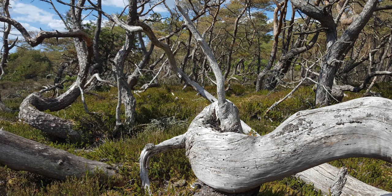
The former clay pits are located in the northwestern part of the nature reserve and date back to the 19th century, when the clay for the brickworks in Stensjö was mined there. Over the years, the numerous pits have been transformed into beautiful pond landscapes, mainly framed by black alder, with a rich bird population.
Explore Skipås Naturreservat
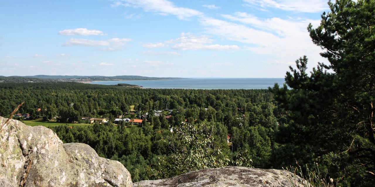
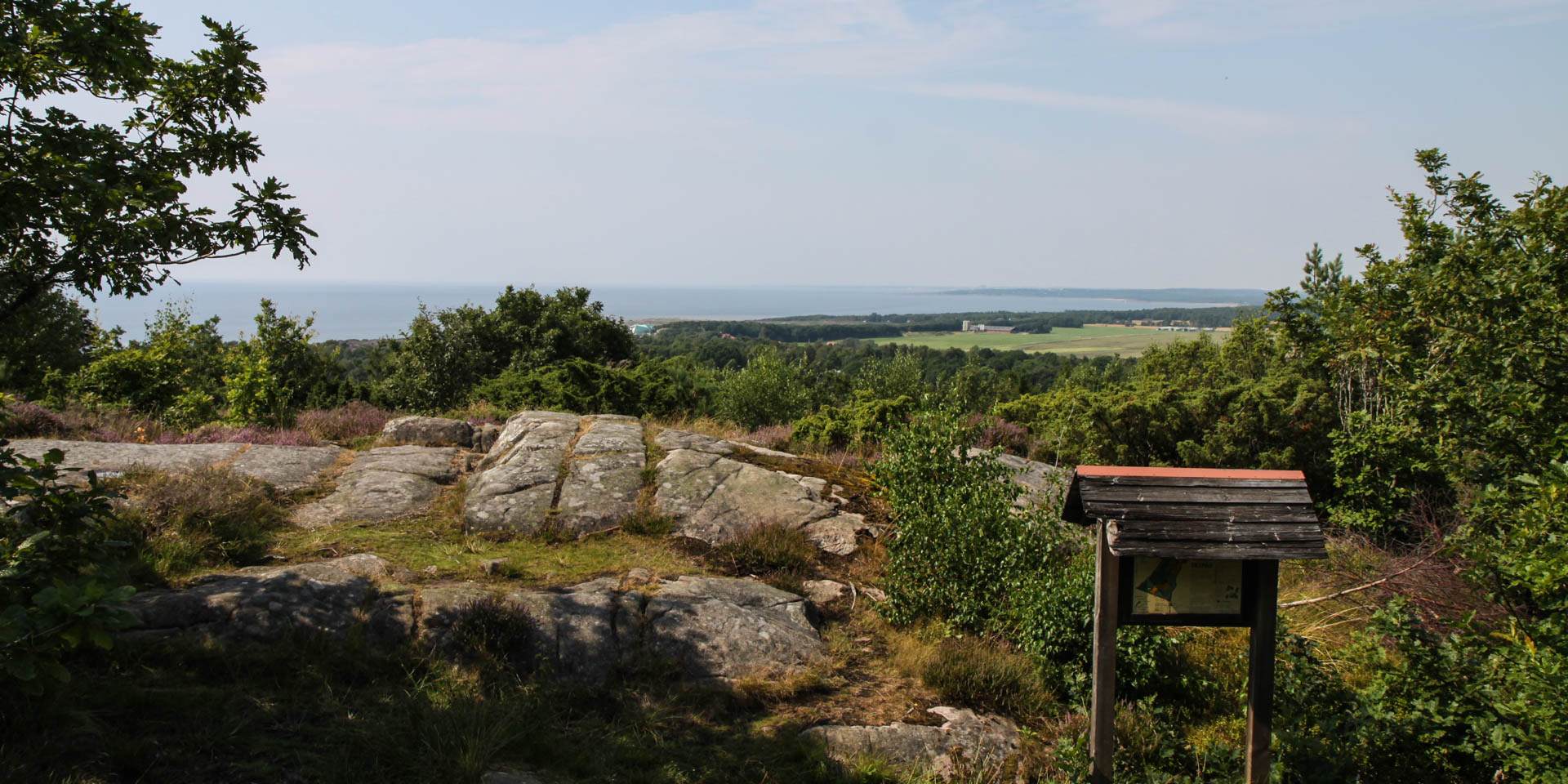
Two circular paths of different lengths lead through the nature reserve. The red marked path is three kilometres long and leads in some distance along the outer borders as a complete round through the whole nature reserve. At the south-western end of the nature reserve, the path meets the viewing platform Klippekulle, from where you have a beautiful view to the sea.
The blue circular trail leads more through the interior of the nature reserve and is only 1.5 kilometres long. From the southern turning point of this circular trail there is a connecting path to the viewing point and also to the red trail, so that you can extend or shorten your walk through the nature reserve at this point as required.