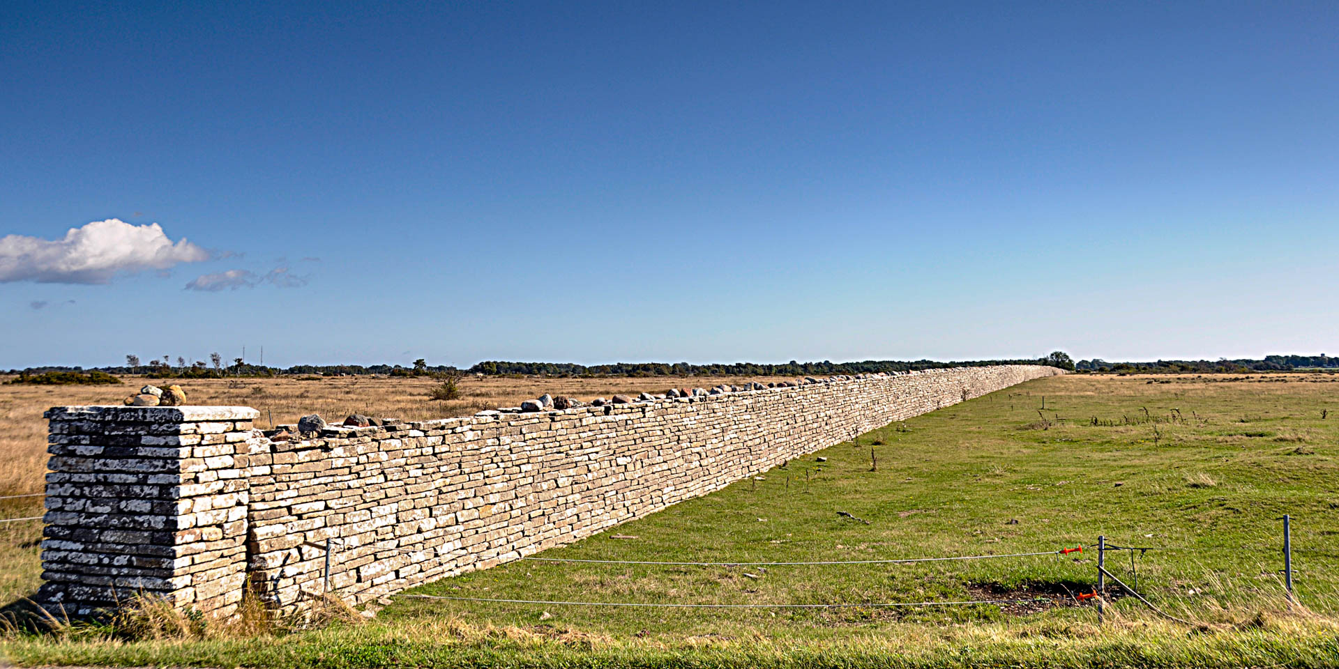

Karl X Gustafs Mur
Historical border wall near Grönhögen
Karl X Gustafs Mur is a 4.5 kilometer long limestone wall that runs across the entire width of the island at the southern tip of Öland.
The somewhat strange-looking structure was built in 1653 at the behest of King Karl X Gustaf, to separate the grounds of the royal estate Ottenby on the southern tip of Öland from the rest of the island.
The Karl X Gustafs Mur was designed as a clear mark to show everyone where the royal territory began – certainly as a kind of oversized property wall. For its construction the tax farmers on the island were forced to community service, also prisoners were employed, whose prison sentences had been converted into compulsory labor.
Wild for the royal hunting was held on the grounds. This could not be prevented from escaping through the wall, but this was not necessary either. At that time the royal hunting law spread over the whole island – if the bounded area had definitely been too small for the royal hunting experience.