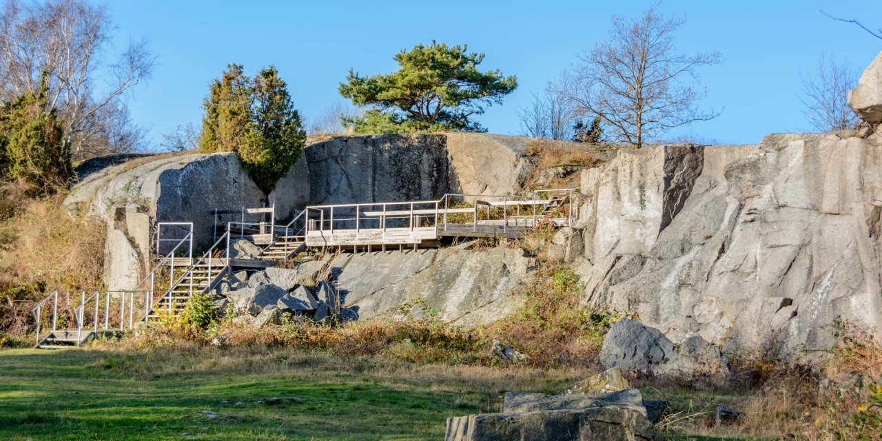

Listershuvud is a residual mountain on the peninsula Listerland and was a island in a warm primeval sea about 65 to 75 million years ago. The highest point of the mountain is located near Hörvik, approximately 80 meters above sea level. A lookout gives a panoramic view of the peninsula, Hanö Bay (Hanöbukten) and the island Hanö.
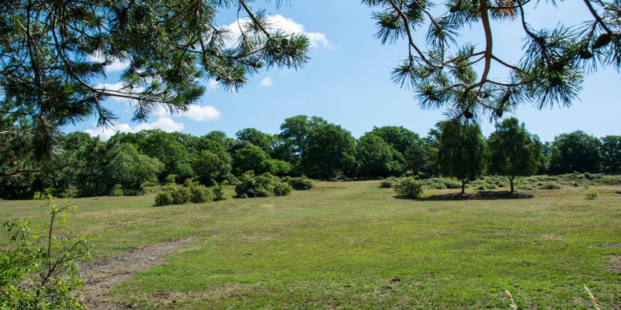
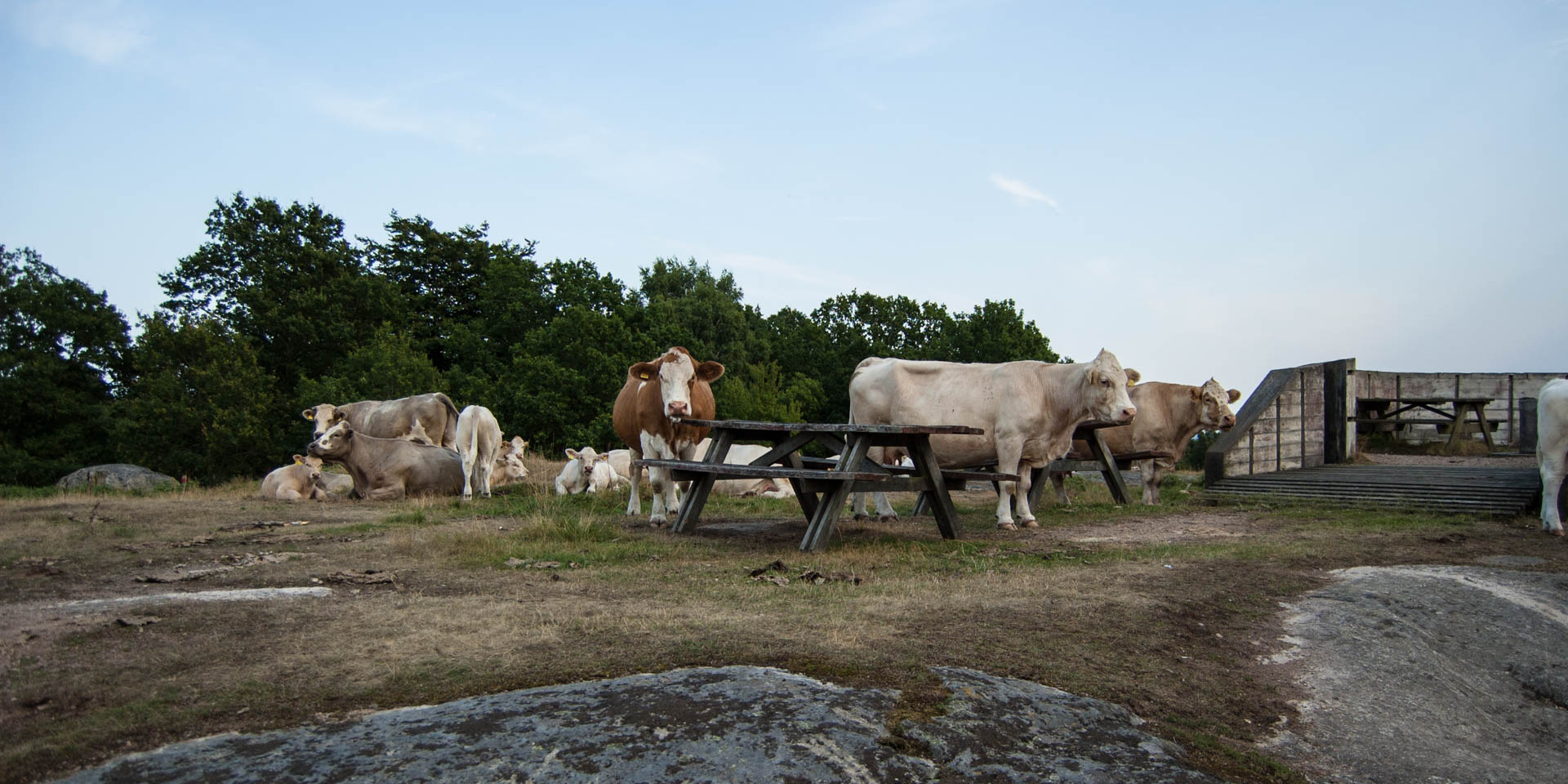
Larger parts of the 475-hectare nature reserve previously used as pasture and there are not a lot of trees. Today, you can find junipers, but also guelder rose and common barberry. Some of the old natural pastures are used again to obtain the very special flora and fauna and to allow an unobstructed view over Listershuvud.
At the shore you can find a large number of so-called beach ridges (Strandvallar). This are stone, gravel and sand deposits from different eras of the development of the Baltic Sea. There is an educational trail with information boards on the geological development since the Ice Age.
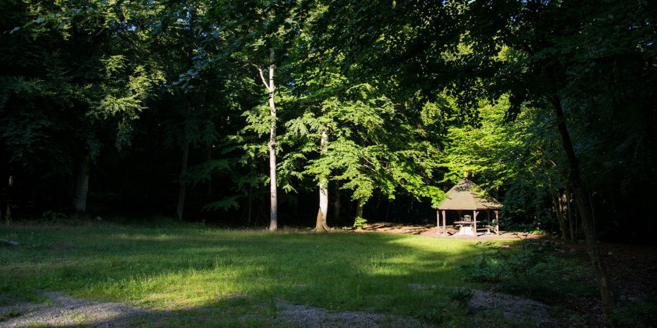
Above the beach ridges is probably the largest hornbeam forest in Sweden; with its 80 hectares. About 300 hectares of the reserve consists of deciduous forest, mostly beech trees, which can develop without human intervention. There is a considerable population of deer in the dense forests and the bird life at Listershuvud has even a regular occurrence of the rare red-breasted flycatcher.