

Södermanlands Län
Southeastern Central Sweden
The province of Södermanlands Län covers the area south of Lake Mälaren and the metropolitan region of Stockholms Län on the east coast of Sweden and forms the south-eastern part of central Sweden (Svealand).


The province is bordered on the north by the provinces of Västmanlands Län, Uppsala Län and Stockholms Län and on the south by the province of Östergötlands Län. The western border is formed by the province of Örebro Län and the Hjälmaren, the fourth largest lake in Sweden.
Södermanlands Län is largely congruent with the area of the historical landscape Södermanland, in short called Sörmland. The name is derived from Södermannens land and means the land of the people who live south of the Mälar valley. Only the northeastern part of the historical landscape belongs to the territory of today's province of Stockholms Län.
Södermanland in figures
With an area of almost 6,100 square kilometers, Södermanlands Län is somewhat smaller than most of its neighboring provinces and is inhabited by about 300,000 people. Although the population density is more than twice the national average at almost 50 inhabitants per square kilometer, it is only one seventh of the population density in the metropolitan region of Stockholm, despite its proximity to the city.
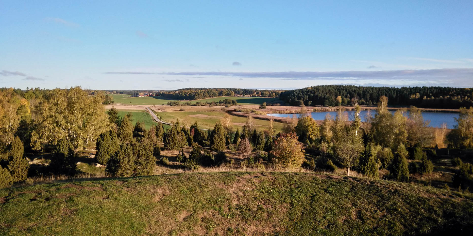
Landscape-wise, Södermanland is a flat country characterized by a constant interplay of forests, moors, lakes and agricultural land, as well as flat valleys and rocky hills, with no elevation higher than 200 meters. Over 50 percent of the area is forested, around 20 percent is used for agriculture and more than 800 lakes cover over 10 percent of the region.
In front of the strongly fissured coast lies the Sörmland archipelago, which consists of about 3,000 small and large islands. More than 160 nature reserves represent special or protected parts of the regional flora and fauna, and the 1,000 kilometer-long hiking trail Sörmlandsleden is a large circular trail with 100 stages through almost every corner of the province.
History of Södermanland
The region was still covered by the water of the Baltic Sea after the last ice age and only became gradually habitable with the beginning land uplift. Compared to other areas in Sweden, the colonization of Södermanland started later, in the middle stone age. Due to the good infrastructure through the numerous natural waterways, early historical settlements were formed, like in the neighbouring Mälar valley.
Södermanlands Län therefore has rich archaeological findings from the Stone and Bronze Ages and a very high incidence of burial mounds, stone settlements, rune stones and prehistoric ruins. Furthermore, the region is home to more than 400 manor houses and castles, most of which were built during the Swedish Great Power period in the 17th century, when many nobles and political officials settled in the rural area within a manageable distance of the capital Stockholm.
The most famous of these castles is without a doubt Castle Gripsholm, which is considered one of the most beautiful castles in Sweden and became world famous not least through the novel of the same name by Kurt Tucholsky. Another big tourist attraction in the category of castles is the former country estate Julita Gård. The manor, which dates back to the turn of the century, is one of the largest open-air museums in the world with more than 300 historical buildings – including the house of the book characters Pettersson & Findus.
Cities in Södermanlands Län
The largest town in Södermanlands Län is Eskilstuna, whose name goes back to the English monk Eskil. In the 11th century, Eskil established a bishop's see in the town of Tuna and began the Christianization of the region. From the 17th century onwards, Eskilstuna became the center of the metal industry in the region, whose history is told today by beautiful old industrial buildings and museums.
The capital and second largest city in Södermalands Län is the coastal city Nyköping, which was granted a town charter around 1260 and is one of the oldest cities in Sweden. It was already an important trading port in the Middle Ages and in the 14th century it was such a major center of domestic power that it was practically the second capital.
At the castle Nyköpingshus, today a museum, one of the most important historical treaties in Northern Europe was signed in 1396. This treaty stated that the union of the kingdoms of Sweden, Norway and Denmark, the so-called Kalmar Union (1397 – 1523), was governed by a common king.
The third largest city in the province is the relatively young city Katrineholm, which only emerged in the 19th century around a railroad station and today has about 25,000 inhabitants. The next largest town is the old episcopal city Strängnäs with about 15,000 inhabitants. It is best known as the town where Gustav Vasa was elected king of Sweden on June 6, 1523 (today's Swedish national holiday) in front of the Strängnäs Cathedral.