
Trollehallar
Ravine near the Rössjön
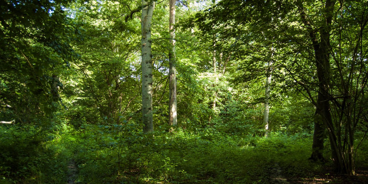
Trollehallar is a ravine north of lake Rössjön, which was formed from glacial meltwater. The next town is Munka-Ljungby, about 15 kilometers south-west.
On the banks and at the bottom of the lake, there are still remnants of the mighty heaps of rubble and sand, which brought the glacier. If you follow the course of the brook Trollebäcken you will enter the almost two kilometer long ravine Trollehallar.
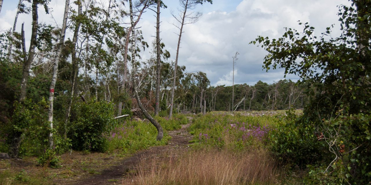
The western side of the Trollehallar is covered with edgy boulders, while on the opposite side it is bounded by vertical rock walls with a height of up to 30 meters.
History
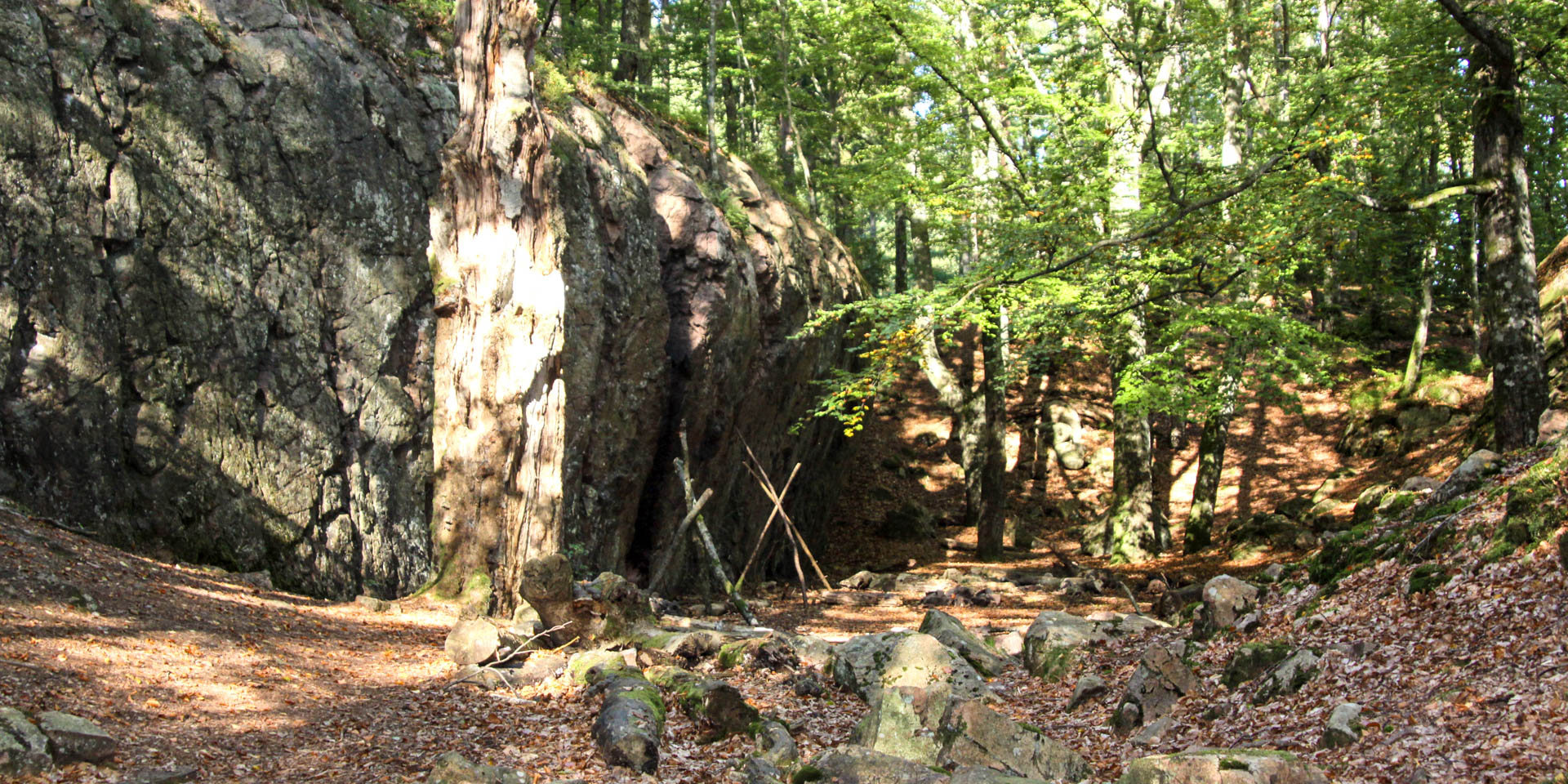
After about one kilometer you can go to a higher-lying valley. This valley is bordered by high cliffs of volcanic rock and called "Snapphanestallarna", believed to be a stronghold of the Snapphanar. The Snapphanar were free shooters who fought in the 17th century in the Swedish-Danish war on the side of the Danes. They had their hidden bases in the dense forests in northern Skåne and the neighboring province of Halland.